General Geography GHNP
The General Geography of GHNP (Great Himalayan National Park) offers a vivid glimpse into one of the most rugged, pristine, and ecologically important landscapes in India. Located in the Kullu district of Himachal Pradesh, the park spans an impressive 754 square kilometers, forming the core zone of conservation. Adjacent to this core area are the Tirthan and Sainj Wildlife Sanctuaries, which add 61 km² and 90 km² respectively. Together, they enhance the ecological buffer and contribute to the park’s overall biodiversity network.
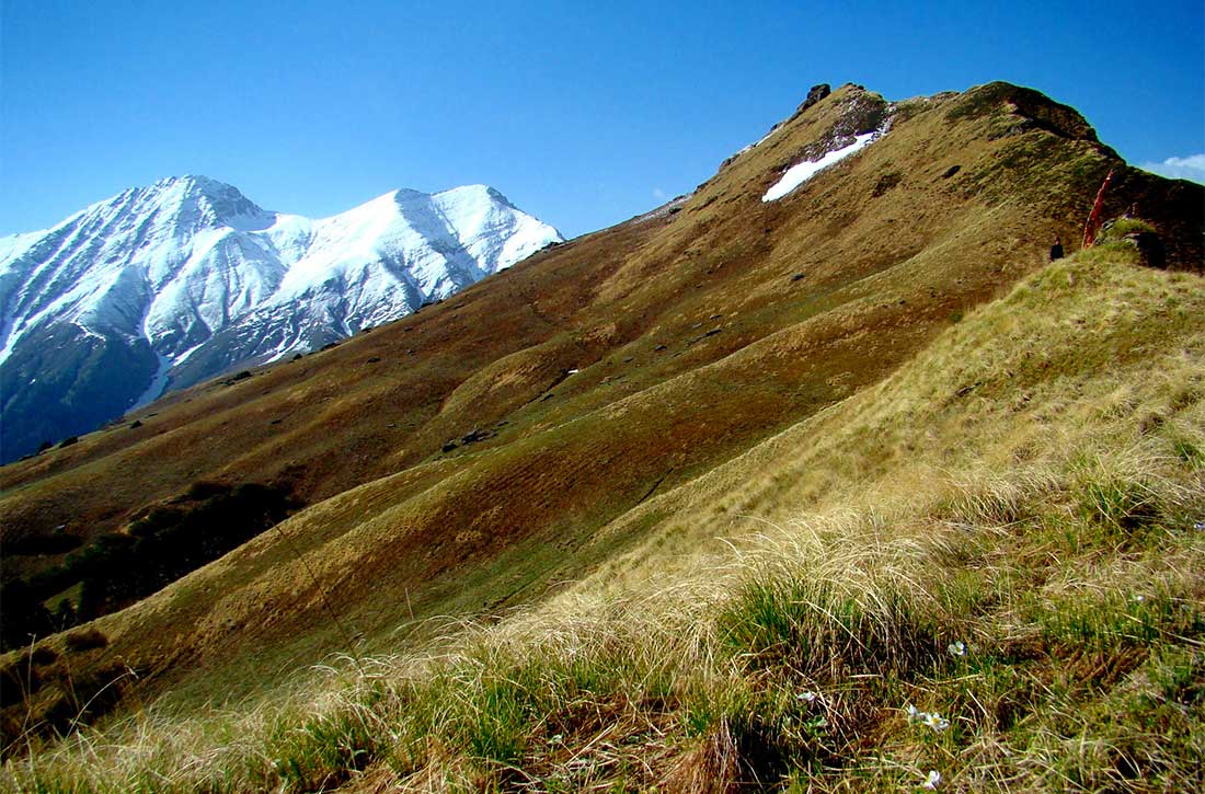
The park’s natural boundaries are defined by dramatic geographical features. On the northern, eastern, and southern fronts, the landscape is protected by steep ridges and perennially snow-covered mountains, which serve as natural barriers and help safeguard the park’s ecosystems from external threats. These towering formations are not only awe-inspiring but play a crucial role in maintaining GHNP’s status as a relatively undisturbed wilderness.
To the west, the General Geography of GHNP transitions into a specially designated ecozone covering 257 square kilometers. This region is home to the indigenous communities who have lived in harmony with the surrounding environment for centuries. These residents of the Tirthan and Sainj valleys have contributed significantly to the park’s conservation through their sustainable resource use and cultural practices.
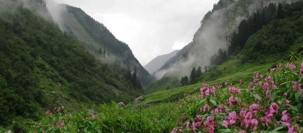
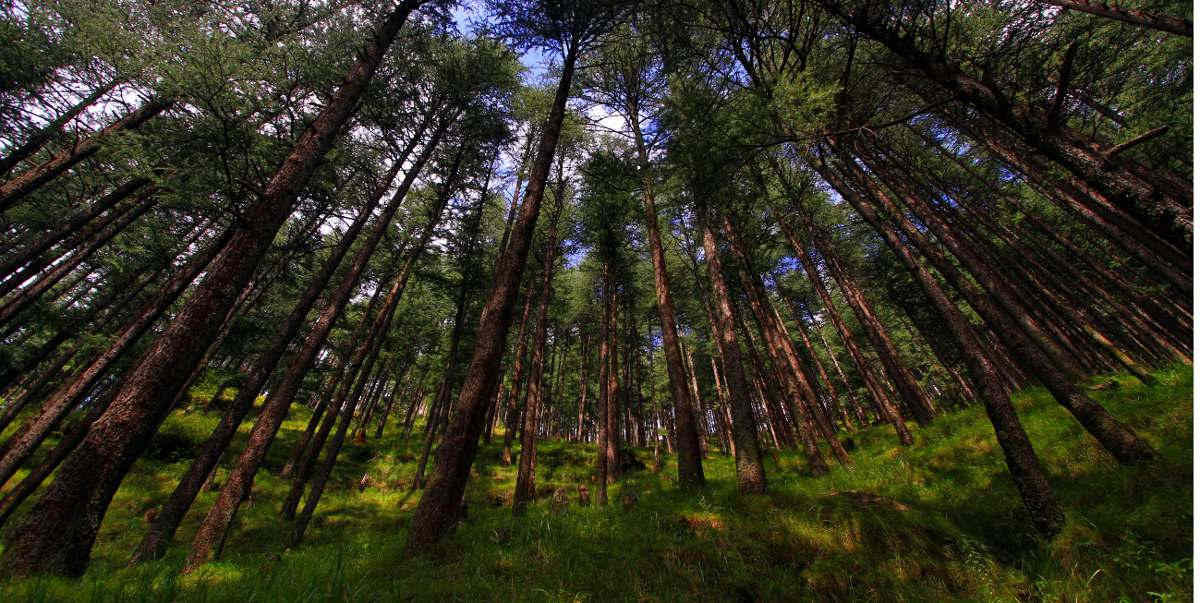
One of the defining aspects of the General Geography of GHNP is its vast altitudinal range, starting from 1,700 meters above sea level in the lower valleys and rising to nearly 5,800 meters at its highest glacial peaks. This sharp elevation change gives rise to a variety of climatic zones, ranging from temperate broadleaf forests and coniferous woodlands to sub-alpine meadows and high-altitude tundra. Such variation supports an extraordinary range of biodiversity, making GHNP one of the richest ecological zones in the Himalayan region.
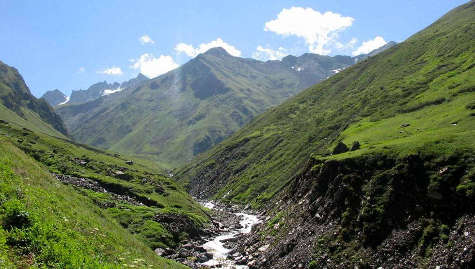
GHNP lies within the Western Himalayan biogeographic zone and encompasses the watersheds of the Tirthan, Sainj, and Jiwa Nal rivers. These rivers, all tributaries of the Beas, have carved deep gorges and lush valleys that are teeming with wildlife. The interplay between river systems, mountain ridges, and forest ecosystems is what makes the General Geography of GHNP so distinctive and crucial for conservation science.
From glacier-fed streams and alpine meadows to dense oak and conifer forests, every aspect of GHNP’s topography contributes to its value as a UNESCO World Heritage Site. The general geography of GHNP not only supports iconic Himalayan species such as the Western Tragopan, Snow Leopard, and Himalayan Tahr, but also protects ancient cultural landscapes inhabited by local deities and traditional communities.
In summary, understanding the General Geography of GHNP is key to appreciating its biological richness, ecological resilience, and cultural heritage. This geographic diversity forms the foundation of GHNP’s importance as one of India’s most treasured natural reserves.
Biogeographically, GHNP is at the junction of the world’s two major faunal realms ‒ the Oriental to the south and Palaearctic to the north. The park’s temperate forest flora and fauna represent the westernmost limit of the Sino-Japanese region, whilst its high-altitude ecosystem has affinities with the adjacent Western and Central Asiatic region.
These biogeographic elements are directly linked to the evolution of the Himalaya. During the continental drift, when the Gondwanaland mass welded with Asia and the Tethys Sea was obliterated from the east, the gigantic fold mountains of the Tertiary Himalaya-Alpine System of Eurasia were formed.
Thus, temperate and alpine ecosystems exist within the geographically compact terrain of the park.